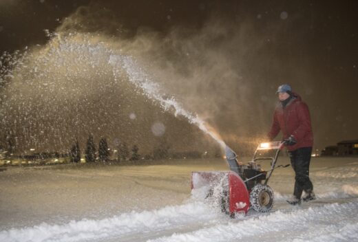
After nearly two years with very little snow, Lower Bucks County could break that cycle Monday evening through Tuesday morning.
Forecasters at the National Weather Service were calling for 3 to 4 inches of snow to fall. Higher amounts are forecasted for areas north of Lower Bucks County.
A Winter Weather Advisory was issued for the area in advance of the storm.
On Monday afternoon, snow showers began to move into the area, bringing some flurries.
On Tuesday morning, Lower Bucks County could see snow mixed with sleet, freezing rain, and rain, leading to a chance of some light icing.
The winter storm is forecast to move out of Lower Bucks County Tuesday morning or afternoon.
Forecasters warned the storm could cause some travel impacts for the Tuesday morning commute.
“Unlike the flurries and snow squalls that drifted across the area on Sunday and mainly melted on roads, lower temperatures in place for the storm from Monday night to Tuesday will lead to slippery and snow-covered roads and sidewalks in many cases,” said AccuWeather Senior Meteorologist Matt Benz.
“An Arctic front will move through in the system’s wake bringing the coldest air of the season thus far. Highs Wednesday are forecast to be in the 20s or colder with daytime wind chill values in the single digits and teens,” forecaster said.
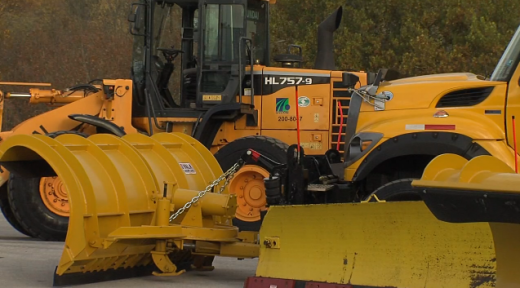
PennDOT and municipal public works crews were spotted out and about spreading salt on local roads.
According to National Weather Service records, 717 days have passed since Philadelphia International Airport reported at least an inch of snow.
The area could see another chance of snow on Friday, according to forecasters.


