

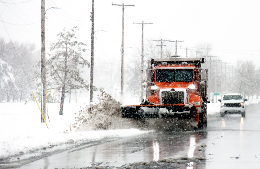
The National Weather Service has issued a Winter Storm Warning for Lower Bucks County and has increased predicted snowfall totals from previous forecasts.
Advertisements
The winter storm is expected to begin after 10 p.m. Friday and conclude by 10 a.m. Saturday.
Originally forecasted to receive 2 to 4 inches of snow, the updated estimates now indicate that Lower Bucks County will see accumulations ranging from 4 to 6 inches.
The storm has prompted forecasters to warn of snowfall rates reaching up to an inch per hour early Saturday morning.
Advertisements

Those needing to drive in the early morning hours could see travel significantly impacted by snowfall and low visibility, forecasters said.
The combination of the heavy snow and the chilly temperatures expected throughout Saturday night raised concern about the possibility of refreezing of any melted snow, according to forecasters.
Advertisements

The latest weather event follows closely behind a clipper system that brought rain showers to the region late Thursday night, and a nor’easter that left about 3 inches of snow on Tuesday.
According to National Weather Service data, Trenton has recorded 11.1 inches of snow this season, a significant increase from the 2 inches received last winter.
The forecast for the coming days:
Advertisements


Saturday Night: Mostly clear, with a low around 20. West wind 5 to 10 mph, with gusts as high as 20 mph.
Sunday: Mostly sunny, with a high near 39. Breezy, with a southwest wind 10 to 20 mph.
Sunday Night: Mostly clear, with a low around 26. Southwest wind 5 to 10 mph.
Advertisements


Monday: Sunny, with a high near 43.
Monday Night: Mostly clear, with a low around 24.
Tuesday: Mostly sunny, with a high near 46.
Tuesday Night: Mostly cloudy, with a low around 28.
Wednesday: Mostly sunny, with a high near 48.
Wednesday Night: Mostly cloudy, with a low around 34.