


UPDATED: 7:06 p.m., Thursday:
In a Thursday afternoon release, the National Weather Service’s regional office issued a snow total prediction map showing a foot to 18 inches of snow between Saturday night and Monday morning.
Forecasters believe mixing could reduce the snowfall totals here.
Advertisements
Original Story:
Forecasters are warning of a major winter storm expected to blanket Bucks County and surrounding areas this weekend.

The National Weather Service issued a Winter Storm Watch Thursday morning ahead of the system that has given them “increasing confidence” it will impact the region from Saturday night through Monday morning.
While meteorologists said it is too early to provide exact snow totals, early forecasts indicate the area could see between 10 and 24 inches of snow. Forecasters currently place the chance of at least 6 inches of accumulation at 100 percent.
Advertisements

The storm is expected to bring hazardous conditions beyond snowfall.
Forecasters said there is a 15 percent risk of ice accumulation, and high winds are likely to cause blowing and drifting snow that will reduce visibility.
Advertisements

“Snow covered roads and reduced visibility will cause widespread travel disruptions,” National Weather Service forecasters said in a briefing for government officials, emergency planners, and reporters.
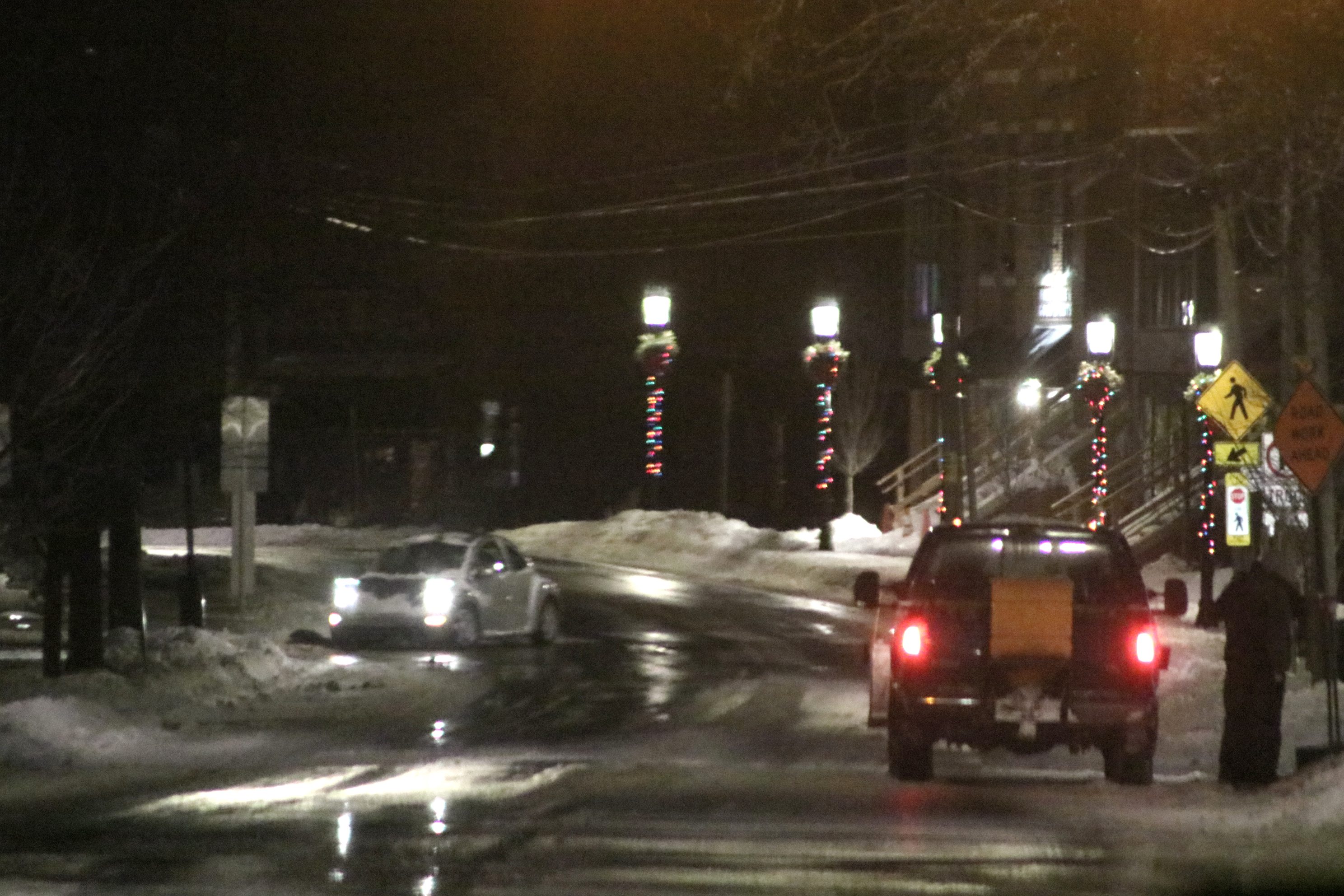
Credit: Tom Sofield/NewtownPANow.com
“Travel conditions can rapidly shift from manageable to impossible in a matter of minutes, especially when temperatures drop and wet roads freeze. Anyone in the path of this storm should seriously reconsider travel plans and be in a safe location before conditions deteriorate,” AccuWeather Chief Meteorologist Jonathan Porter said Wednesday night.
Porter warned that the storm, which will stretch across most of the East Coast, will cause travel impacts on highways, rail lines, and at airports.
Advertisements


“Thousands of flight cancellations and delays are likely with snow and ice impacting major airport hubs from the South to the mid-Atlantic and Northeast. Icy roads and snow-covered highways can bring long-haul trucking and regional deliveries to a standstill,” Porter added.
The storm will bring with it a stretch of “dangerous cold” with temperatures forecast to remain below normal into next week.
Advertisements


In Philadelphia and Trenton, low temperatures from Saturday through next Thursday are expected to be in the single digits and teens, with wind chills dropping below zero.
“Prolonged exposure to dangerous wind chills could result in hypothermia if precautions are not taken,” National Weather Service officials said.
State and local officials are preparing for the impact of the storm.
Gov. Josh Shapiro’s office said the Pennsylvania Emergency Management Agency, PennDOT, and the Pennsylvania State Police are getting ready for the storm.
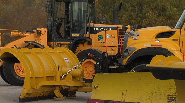
PennDOT crews are working to ready equipment for road-clearing operations.
The incoming system follows a winter that has already brought bitter cold and several snow events.
Advertisements
According to National Weather Service data, Philadelphia has recorded 6.4 inches of snow and Trenton has seen 15.5 inches so far this season — the highest totals for the region since the winter of 2018.