

Forecasters and state officials warned Saturday of the “significant” winter storm poised to blanket the region with heavy snow and ice. It will be followed by life-threatening cold that will last through next weekend.
While anticipated snowfall totals were revised downward Saturday morning, the National Weather Service issued a Winter Storm Warning and Cold Weather Advisory.
Advertisements
Forecasters at the regional weather office said they have high confidence the storm will bring major impacts to travel and infrastructure.
Lower Bucks County is currently expected to see between 8 and 12 inches of snow by the time the storm leaves Monday morning.

The storm is forecast to transition into a mix of sleet and freezing rain across the I-95 corridor beginning Sunday afternoon. Meteorologists expect ice accumulations of 0.1 to 0.3 inches, a level capable of downing power lines and damaging trees.
Advertisements

“We know that this storm has the potential to have major impacts across the Commonwealth, not just during the storm, but for days afterward,” said Randy Padfield, director of the Pennsylvania Emergency Management Agency (PEMA).
Gov. Josh Shapiro and the Bucks County Commissioners have both signed disaster emergency declarations to streamline resource allocation and cut administrative red tape.
Advertisements

Beginning at midnight Saturday, the Keystone State will implement Tier 4 vehicle restrictions across the entire interstate network and the Pennsylvania Turnpike.
Credit: PA Internet News Service
According to officials, the restrictions prohibit all commercial vehicles, school buses, motor coaches, motorcycles, and passenger vehicles towing trailers from the roadways.
“The decision to implement these restrictions was made with the intention of balancing safety for everyone on the roadway,” said PennDOT Secretary Mike Carroll. He urged residents to treat Sunday as a “stay home day,” suggesting that watching NFL games would be far safer than driving.

Credit: PA Internet News Service
Advertisements


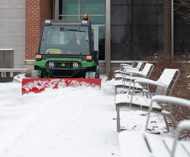
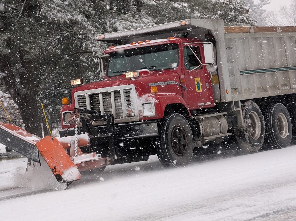
Municipalities across Bucks County have declared snow emergencies and requested that residents remove vehicles from streets to allow plows to clear streets.
Upper Makefield Township Manager Gregg Schuster said the muncipality has additional public works and police staff working over the weekend.
Advertisements


The township manager said road crews will be working to clear roads as quick as possible, but he asked people to stay off the roads during the storm.
“It really helps us out if you stay off the roads,” he said.
PennDOT has mobilized more than 2,600 plow trucks and 5,000 workers to clear state roads and highways.
Carroll cautioned that at peak intensity, snow could fall at rates of 1 to 2 inches per hour, which could mean roads will not remain clear while the storm is active.
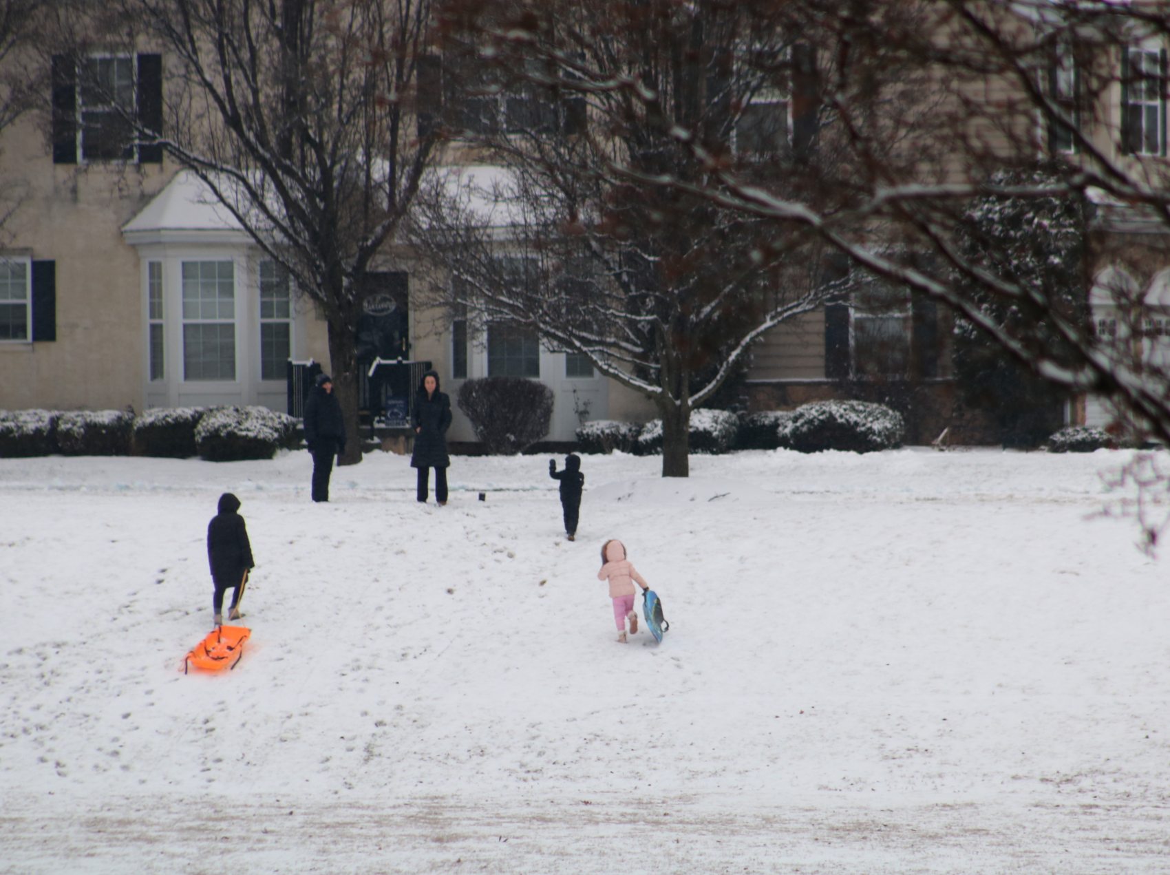
Local grocery stores had plenty of bare shelves as customers bought up bottled water, bread, vegetables, and eggs ahead of the storm.

Credit: Tom Sofield/NewtownPANow.com
Bags of rock salt were another hot item, with local community Facebook groups filled with posts about what stores had new deliveries of salt and snowmelt.
Utility providers are also bracing for impacts of the weekend storm.
PECO has increased staffing levels to address potential outages.
Advertisements
In a statement PECO said that restoration efforts will prioritize pump stations, hospitals, and 9-1-1 centers before moving to residential areas.
Comcast has deployed generators to maintain service equipment in the event of power outages.
Forecasters and emergency management officials said the biggest threat may be the arctic air following the snow and ice.
Credit: Tom Sofield/NewtownPANow.com
Wind chills are expected to drop between -10 and 0 degrees, which will lead to a high risk for frostbite and hypothermia for those not properly protected.
“It’s a combination of the snow … but also the extended cold that we’re going to see,” Padfield said, noting that the week-long deep freeze could stress energy infrastructure and lead to water main breaks.
In response to the plummeting temperatures, Bucks County has issued a “Code Blue” to open additional shelter spaces for the unhoused population in the lower, central, and upper portions of the county.
State Police Acting Commissioner Lt. Col. George Bivens reminded those who must travel that they are legally required to clear all snow and ice from their vehicles.
“Slow down,” Bivens said. “Police can issue citations for driving too fast for conditions, even if you are traveling below the posted speed limit.”
Residents are encouraged to monitor 511pa.com for travel updates and visit Ready.pa.gov for emergency preparation checklists.
The area forecast from the National Weather Service:
Saturday Afternoon: Partly sunny, with a high near 17. Northwest wind 5 to 10 mph.
Saturday Night: A slight chance of snow before 1am, then snow likely after 3am. Cloudy, with a low around 12. Calm wind becoming northeast around 5 mph after midnight. Chance of precipitation is 60%. New snow accumulation of around an inch possible.
Sunday: Snow before 1pm, then snow, possibly mixed with sleet between 1pm and 4pm, then snow and sleet, possibly mixed with freezing rain after 4pm. The snow could be heavy at times. High near 24. Wind chill values as low as -1. Northeast wind 10 to 15 mph, with gusts as high as 25 mph. Chance of precipitation is 100%. Little or no ice accumulation expected. New snow and sleet accumulation of 7 to 11 inches possible.
Sunday Night: Snow, freezing rain, and sleet, becoming all snow after 4am. Low around 21. Northeast wind 10 to 15 mph, with gusts as high as 25 mph. Chance of precipitation is 100%. New ice accumulation of less than a 0.1 of an inch possible. New snow and sleet accumulation of 1 to 2 inches possible.
Monday: A chance of snow, mainly before 1pm. Partly sunny, with a high near 26. West wind 10 to 15 mph. Chance of precipitation is 50%. New snow accumulation of less than a half inch possible.
Monday Night: Partly cloudy, with a low around 5.
Tuesday: Mostly sunny, with a high near 18.
Tuesday Night: Partly cloudy, with a low around 4.
Wednesday: Mostly sunny, with a high near 21.
Wednesday Night: Mostly cloudy, with a low around 5.
Thursday: Partly sunny, with a high near 19.
Thursday Night: Partly cloudy, with a low around 5.